THE GREEN NECKLACE
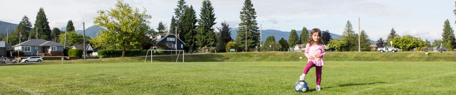
How about a walk along the Green Necklace? You don’t have to walk the full Green Necklace, however, as it is 7.5 km long! You could walk through Greenwood Park, which was once a quarry, at the north end of Queensbury Avenue. If you follow the path through the park, it turns west and comes out at East 23rd Street. You could stop at Mahon Park on Jones Avenue and walk or jog around the track, try out some of the exercise equipment, which the City Parks Dept has added on the east side of the track, or let your kids play in the playground. You could walk along Keith Road between Jones Avenue and Grand Boulevard, enjoying Victoria Park, on either side of Lonsdale, or stopping for a coffee or an ice cream at St. Andrews on 8th. You could walk on one of the paved paths in Grand Boulevard, from Keith Road to 19th Street, stopping at Ray Perrault Park or the playground at 13th and Moody.
This path circles North Vancouver City, and was the vision of Edward Mahon (correctly pronounced “Man”), whose name has been given to Mahon Avenue and Mahon Park. He arrived in British Columbia in 1890 from Ireland. In 1905, as a main shareholder in the North Vancouver Land and Improvement Company, he presented a plan to council to create green spaces circling the city, with the showcase feature of Victoria Park. Along with the other parks (mentioned above), it became the “Green Necklace”. Mahon said:
“Completion of this great public way, with the supporting parks and gardens, will perpetuate health areas and pleasure grounds within a short distance of every resident of the present City of North Vancouver, and our municipality will have the distinction of possessing the most spacious boulevard contained within the limits of any city in the world – a great artificial lung, encompassing the central town, breathing, pressing, forcing into it health and vitality . . .” ✻
The original plan of the Green Necklace started at Grand Boulevard and Keith Road, continuing northward to 25th Street, going west along 25th to Jones Avenue and south on Jones to Keith, running east along Keith, through Victoria Park and back to Grand Boulevard. The 25th Street segment was lost to the Upper Levels Highway, in 1961, so the north side of the quadrangle was moved south to 23rd Street. The 2002 CNV Parks and Greenways Strategic Plan highlighted intentions to recreate the Green Necklace, before the City’s Centennial in 2007. It was mostly completed, and has seen many improvements since then. Here’s the link to the original map on www.cnv.org.

The current Green Necklace (as seen on www.cnv.org)
Enjoy the walk,
Marilyn
✻ Source: The Green Necklace: The Vision Quest of Edward Mahon by Walter O. Volovsek (2012)